1. Thermal Imaging
  2. C2Land: Optically Aided Autonomous Landing of Aircraft
VarioCAM® HD provides reliable information in poor visibly conditions

Optically Aided Autonomous Landing of Aircraft

As part of the “C2Land” project researchers at the Technical University of Braunschweig have developed an optical reference system consisting of a VIS and an infrared camera that enables safe autonomous landing. Specially programmed image processing software can be used to determine the exact position of the aircraft relative to the runway.
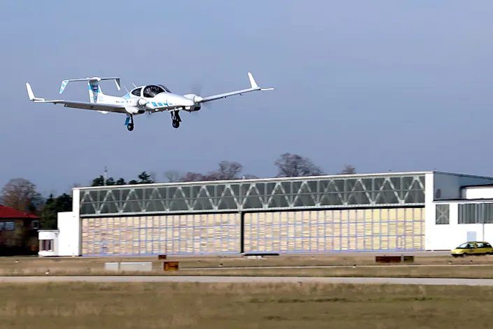
eVTOL at Landing

Autonomous driving offers many benefits. For example, it helps reduce individual errors that can lead to accidents. What is not yet within reach on the road is already part of everyday life in the air. At large airports, the instrument landing system (ILS) enables commercial aircraft to land automatically and precisely.

However, these ground-based systems are often not available at smaller airports, partly because they are very expensive. As part of the “C2Land” project funded by the Federal Ministry for Economic Affairs and Climate Protection, researchers at the Technical University of Braunschweig have developed an optical reference system consisting of a VIS and an infrared camera that enables safe autonomous landing. Specially programmed image processing software can be used to determine the exact position of the aircraft relative to the runway.

Download Case Study

InfraTec Solution

TU Braunschweig
Institute of Flight Guidance

tu-braunschweig.de/en/iff/institut

Project:
tu-braunschweig.de/en/iff/institut/ research/projects/c2land  


Thermal imaging system:
VarioCAM® HD head 620, 15 mm-lens, VarioCAM® HD head 920

The autopilot in aircraft navigates using GPS signals as standard. However, the system is susceptible to measurement errors, for example due to atmospheric disturbances. In addition, measurement errors cannot always be reliably detected. To ensure a safe landing, pilots must therefore continue to take control themselves from an altitude of 60 metres.

Detection of the runway with an optical camera
Fig. 1: Detection of the runway with an optical camera
IR image of the runway, which enables better detectability, especially in poor visibility conditions.
Fig. 2: IR image of the runway, which enables better detectability, especially in poor visibility conditions.

The aim of the scientists at TU Braunschweig, together with other project partners, was to enable fully automatic landing of eVTOLs (electrically powered aircraft that can take off and land vertically) and fixed-wing aircraft. They wanted to reliably detect runway features such as sidelines and thresholds and use them to determine the relative position of the aircraft. The VarioCAM® HD head thermographic system from InfraTec complements the RGB camera, which is often ‘blind’ in poor visibility conditions such as haze, twilight, or backlighting.

 A particular challenge for the scientists was that the analyses had to be carried out under real-life conditions, that is, under very harsh and dynamic conditions. The aircraft’s movements and accelerations, as well as widely varying measurement distances and environmental factors, placed high demands on the optical reference system, that had to be developed.

 The VarioCAM® HD head 620 with a 15 mm lens was used as the IR component. The robust system camera was chosen because its geometrical resolution of (640 x 480) IR pixels and high contrast, which results from its excellent thermal resolution, guarantee high positioning accuracy. Secondly, PPS triggering (PPS: Pulse per Second) allowed the camera's measurement data to be provided with an accurate time stamp and thus reliably synchronized with other measurement and status data. An exact determination of temperatures, however, was not required. Using a GigE interface, the image data generated by the VarioCAM® HD was exchanged directly with the processing system, processed by the image software, and recorded in a lossless compressed format.

Within the framework of the project, the researchers added several new functions to the software. These included synchronizing the data from both cameras with the GPS signals, calculating a virtual guidance beam for the landing approach, and flight control for different phases of the approach. The use of InfraTec's infrared camera significantly increased the availability of measurement data, making autonomous landing safer.

 The C2Land project, funded by the Federal Ministry for Economic Affairs and Climate Protection and administered by DLR Space Administration, has now been successfully completed. Uncooled infrared cameras with higher geometrical and thermal resolution are now available, such as the VarioCAM® HD head 920 with (1,024 x 768) IR pixels. “This significantly advances us toward the practical use of an optical landing system. Our analyses have demonstrated the technical feasibility of an optical automatic landing system for the new class of eVTOL aircraft and for fixed-wing aircraft,” explains project manager Finn Hübner. “The new infrared cameras from InfraTec with higher IR and thermal resolution enable more robust detection from distances that were never thought possible."


All images: © Institute of Flight Guidance, TU Braunschweig

Advant­ages of this Ther­mo­graphy Solu­tions in this Applic­a­tion

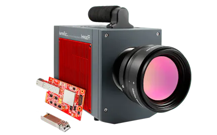
Thermografie-Kameraserie ImageIR® mit neuer 10 GigE-Schnittstelle

10 GigE Inter­face

Ultra-fast Data Transfer
High-resolution detectors and high frame rates generate large amounts of data. With the 10 Gigabit Ethernet interface, this data can be transferred quickly, reliably and without loss.

InfraTec glossary - ImageIR® mobile wireless camera remote control

Camera Remote Control

Wireless Measurement – Independent and Convenient

The functions of the stationary camera systems can be controlled via the integrated web interface using a smartphone or software, as well as via an additional tablet attached to the housing.

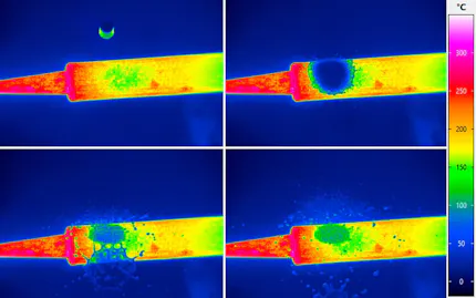
InfraTec thermography - High-speed Mode

High-speed Mode

Faster Measurement with a Constant Field of View

Due to binning technology, infrared cameras have an additional high-speed mode in which the frame rate increases to more than three times and the thermal resolution can be doubled.

InfraTec glossary - Rotating filter- und aperture wheel

Filter & Aper­ture Wheel

Measurement of High Temperatures & Spectral Ranges

Up to two individually combinable wheels equipped with filters and apertures allow the camera sensitivity to be adjusted to the specific requirements of demanding measurement tasks.

InfraTec thermography - Feature EverSharp

Multifocus Func­tion

Sharp Imaging of all Objects in the Frame

The innovative Multifocus function ensures that the quality of the images is completely independent of the depth of field of the lenses used or the distance of the test objects from the camera.

Thermography with ImageIR series - HDR feature - Picture credits: © iStock.com / Vershinin M

HDR Function

Display of Large Temperature Ranges Simultaneously

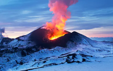
The HDR function enables thermograms with different integration times and filters to be created in quick succession and combined into a single image with large temperature differences.

HighSense for thermographic camera series ImageIR®

High­Sense Function

Guaranteed Flexibility and Measurement Accuracy

Due to this innovative feature, the cameras' measurement accuracy remains unchanged even when integration times or measurement ranges are altered. This will save users both time and money.

MicroScan feature ImageIR

Micro­Scan Function

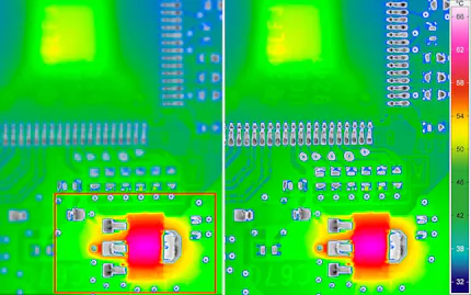
Quadruple Geometrical Resolution

By using a fast-rotating MicroScan wheel, the number of pixels used can be quadrupled compared to the native pixel count of the FPA detector, significantly improving image quality.

InfraTec glossary about motor focus

Motor Focus

Remote-controlled Focussing of the Thermal Image

Interchangeable standard lenses in the ImageIR® series can be equipped with a motor focus unit. This enables precise, remote-controlled and fast focussing via the operating software.

InfraTec Service - thermography lenses

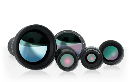
Infrared Lenses

Precision lenses for a Wide Range of Requirements

Whether measuring the smallest details or monitoring over long distances, InfraTec provides high-quality, fast precision lenses for all types of thermographic analysis.

Trigger interface for ImageIR® and TarisIR® cameras

Trigger Interface

Interface for Incoming and Outgoing Control Signals
Trigger signals to or from the camera can be used to control and synchronise image data acquisition. Thermographic measurements can also be used to control processes.

Relevant Indus­tries & Applic­a­tions

thermal imaging in aviation

Aerospace Industry

Comply with highest security demands by applying state-of-the-art infrared camera systems.

thermography for aerial photography

Aerial Ther­mo­graphy

Detect persons and objects in the field or monitor wide-area geologic properties or environmental damages.